
Government Launches “Nepal Weather Official” Mobile App For Real-Time Alerts and Trekking Updates

14th July 2026, Kathmandu
Staying safe and informed during unpredictable weather changes in Nepal just got significantly easier. The Government of Nepal has officially launched “Nepal Weather Official,” a dedicated mobile application designed to deliver highly accurate, localized, and real-time weather and climate insights directly to the public.
Nepal Weather Official Mobile App
The app was conceptualized and developed by the Department of Hydrology and Meteorology (DHM) in close collaboration with the National Information Technology Center (NITC). By shifting official meteorological data from static web dashboards straight to smartphones, the government aims to enhance disaster preparedness and assist daily commuters, farmers, and tourists alike.

Live Climate Tracking and 7-Day Forecasts
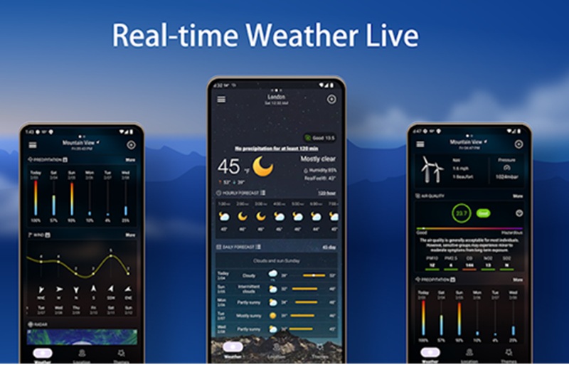
The Nepal Weather Official Mobile App provides users with an instant snapshot of their current location’s environmental conditions. Upon opening the application, citizens can access critical live updates, including:
Core Weather Metrics: Real-time temperature, “feels like” temperature, humidity levels, and atmospheric pressure.
Air Quality and Wind Data: Live Air Quality Index (AQI) readings alongside wind speed and direction.
Extended Planning Tools: A quick 3-day overview on the home screen, with options to expand into detailed hourly forecasts and comprehensive 7-day weekly updates.
Early Warnings: Flood, Landslide, and Heavy Rainfall Alerts
With Nepal’s terrain being highly susceptible to sudden flash floods, landslides, and cloudbursts, especially during the monsoon season, the Nepal Weather Official Mobile App serves as a vital early warning system.
Advertisement

It features automated smart push notifications that blast critical alerts directly to users in high-risk zones. Whether there is an impending risk of river levels crossing safety thresholds or extreme rainfall warnings issued by the Meteorological Forecasting Division, the app ensures that community-level alerts reach citizens in time to save lives and property.
Advanced Maps, River Hydrology, and Trekking Safety
Beyond basic city forecasts, the joint DHM-NITC platform incorporates advanced, high-utility features tailored for both disaster management and high-altitude recreation:
Interactive Visual Tools: Users can monitor local developments via live satellite imagery, rainfall radar data, and dynamic temperature maps integrated directly into the interface.
Hydrological Monitoring: Real-time river water levels and flood forecasting data help downstream communities monitor risk parameters instantly.
Himalayan Trekking Insights: Recognizing the unpredictability of alpine climates, the app features dedicated weather updates for major trekking regions and mountain routes, tracking altitude-specific visibility, snowfall probabilities, and extreme conditions.
Availability
The Nepal Weather Official Mobile App is free to download and optimized for both smartphones and tablets. It features a user-friendly, multilingual interface suitable for all demographics.
Android Users: Available for download on the Google Play Store.
iOS Users: Available for download on the Apple App Store.