3,279 Ropani Land Identified for Relocation of BhoteKoshi Flood Victims

23rd September 2026, Kathmandu
A central committee formed by the Ministry of Land Management, Cooperatives, and Federal Affairs has identified and recommended 277 plots of land totaling 3,279 ropani and 2 paisa for the rehabilitation of families displaced by the BhoteKoshi flood.
3,279 Ropani Land Identified for Relocation
The study was conducted to relocate flood-affected households from Rasuwa, Nuwakot, and Dhading who have no alternative living arrangements.

Land Allocation Breakdown and Geographical Distribution
The identified land spans across three districts, with varying land types and ownership structures.
Advertisement

- District Distribution: The committee recommended 177 plots in Rasuwa, 94 plots in Nuwakot, and 6 plots in Dhading.
- Area Coverage: Nuwakot accounts for the largest share with 2,665 ropani, 6 ana, 1 paisa, and 1 dam, followed by Rasuwa with 591 ropani, 9 ana, 1 paisa, and 2 dam, and Dhading with 22 ropani, 3 paisa, and 1 dam.
- Land Types Identified: The identified plots include public, private, forest, Nepal Electricity Authority, school, irrigation, and national park lands, with the majority falling under government and forest ownership.
Technical Analysis and Site Selection Criteria
The committee utilized advanced mapping and multi-criteria analysis to evaluate suitable relocation sites.
- Multi-Criteria Analysis (MCA): Candidate lands recommended by local levels were analyzed using GIS data, including topographic maps, pre- and post-disaster satellite imagery, digital elevation models (DEM), landslide susceptibility maps, and proximity to road networks and drinking water sources.
- Safety-First Approach: The report emphasizes prioritizing safe locations over proximity to damaged original settlements, advising against rebuilding in high-risk zones.
- Legal Considerations for Forest Land: Non-forest and non-protected areas are prioritized; however, if forest or protected land must be used, the committee recommends enacting specific legal amendments.
Integrated Settlement Planning and Governance Directives
The relocation model focuses on holistic community development rather than simple land distribution.
- Infrastructure Integration: The committee recommended developing integrated settlements equipped with roads, drinking water, electricity, healthcare facilities, schools, sanitation, and open public spaces.
- Socio-Cultural Preservation: Relocation plans must consider the social, cultural, religious, and traditional lifestyle needs of the displaced communities.
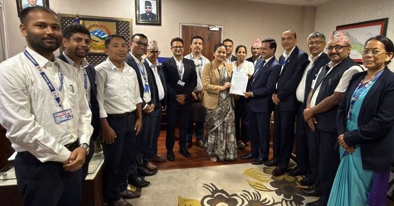
- Committee Formation: Formed via a ministerial decision on Bhadra 22, 2083, following the Bhadra 10 BhoteKoshi flood, the central committee was coordinated by Prakash Joshi, Director General of the Survey Department, with representatives from home, land management, forest, geology, and irrigation departments.